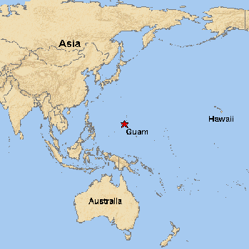
Map of Guam
in the South Pacific.
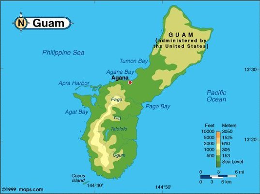
Map of Guam.
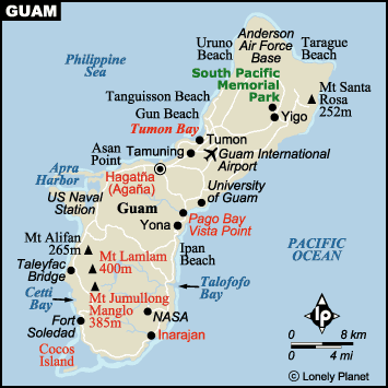
Map of Guam.
Each photo will enlarge if you click them.
You may move the enlarged photo with its top bar,
and close it with the X on its bar.
We moved to the island of Guam.
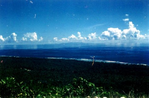
Guam is part of the Mariana Island chain, formed by volcanoes.
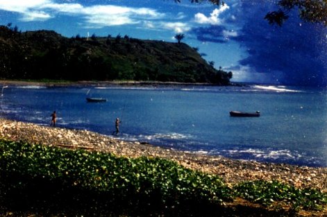
The fishermen gather at the bay.
The rain comes and goes.
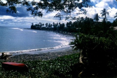
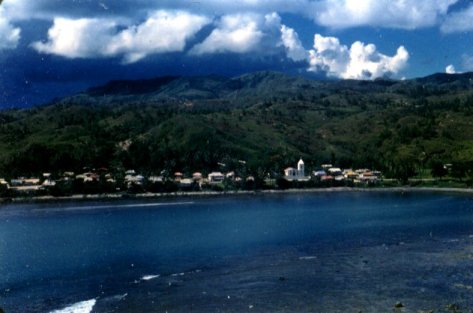
A village across the bay.
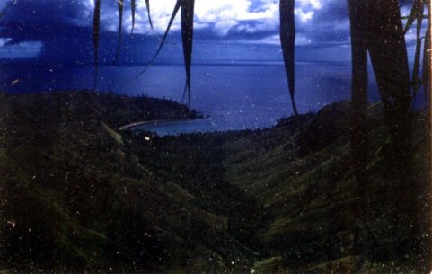
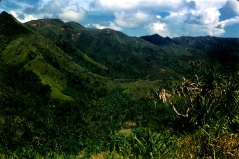
The mountains of Guam.
Every afternoon the rains would briefly move through.
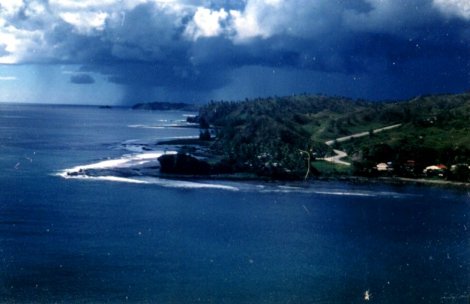
A rain storm passes over the Mariana Trench, the deepest area of any ocean.
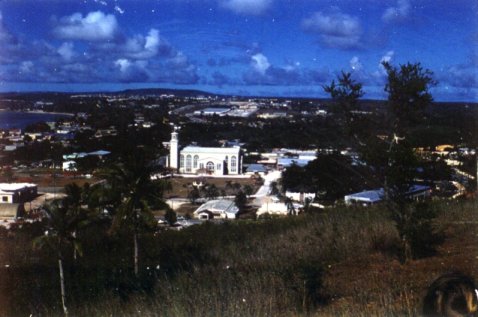
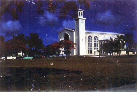
Agana, the capital of Guam.
Agana’s church.
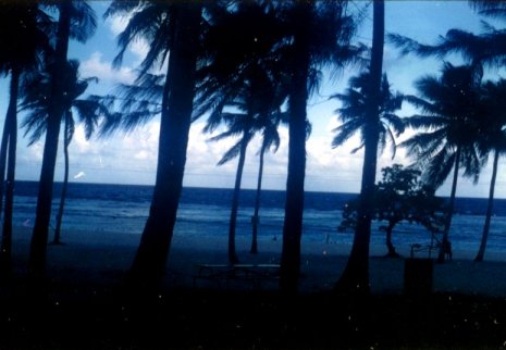
In the evening, on Tarague Beach, we would BBQ chicken.
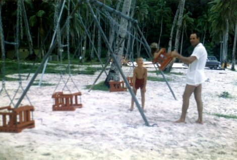
Ernie on the slide at Tarague Beach.
Harvey swinging Debbie at Tarague Beach, while Ernie watches.
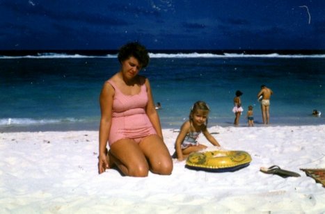
Judy and Debbie with Harvey in the background at Tarague Beach.
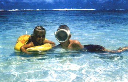
Debbie and Ernie liked to snorkel in the crystal blue water.
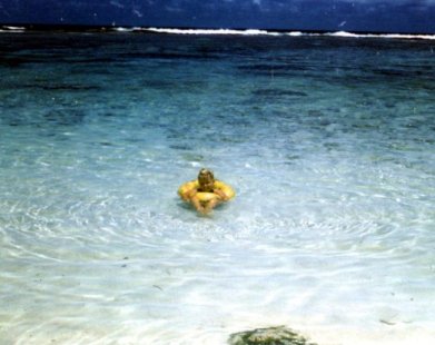
Debbie in her ring, with the waves breaking on the coral reef.
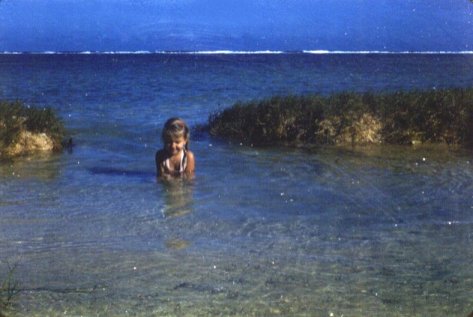
This is Debbie’s private lagoon.
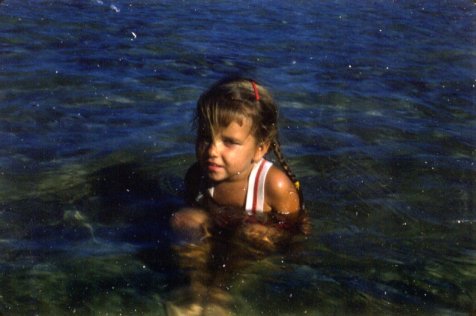
Debbie claims her own swimming hole.
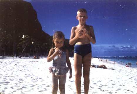
Debbie and Ernie at Tarague Beach, our favorite beach at Anderson AFB.
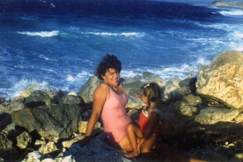
Judy and Debbie on the rock sea wall at Apra Harbor.
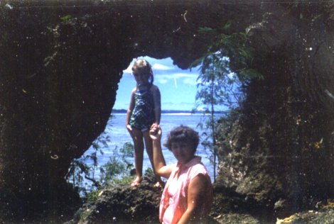
Debbie and Judy inside a World War II Japanese bunker.
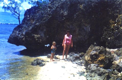
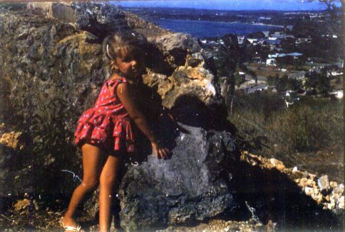
Debbie and Judy in front of a huge coral rock.
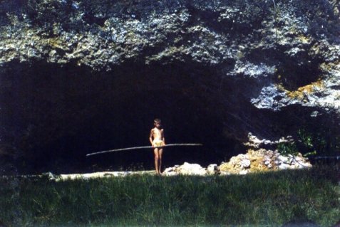
Ernie protects his cave.
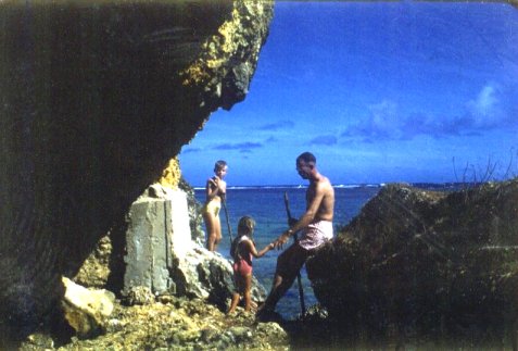
Ernie, Debbie and Harvey at the bunker.
Ernie standing at the cliff’s edge.
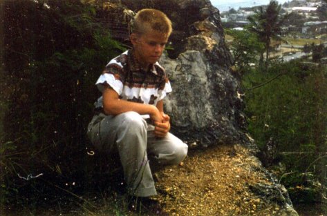
Ernie beside a destroyed Japanese bunker at the top of the hill.
Debbie shows the mysterious Japanese writing beside the bunker.
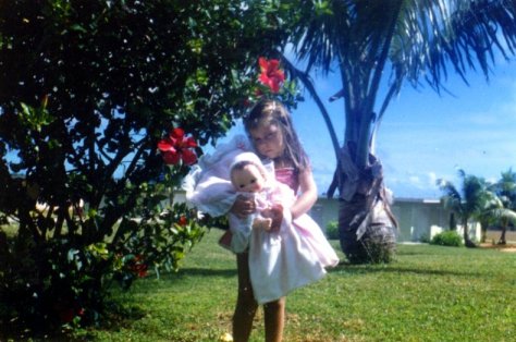
Debbie and the flower bush.
Debbie with a hibiscus in her hair.
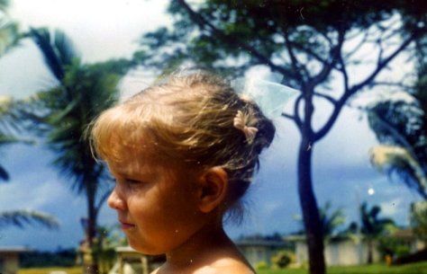
Debbie’s hair bun.
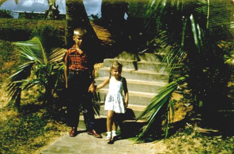
Debbie and Ernie walking down the steps to the street beside our home.
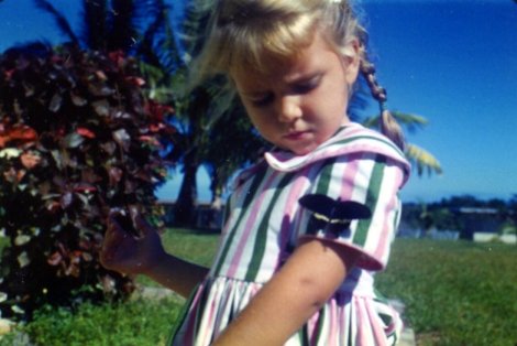
Debbie and the butterfly.
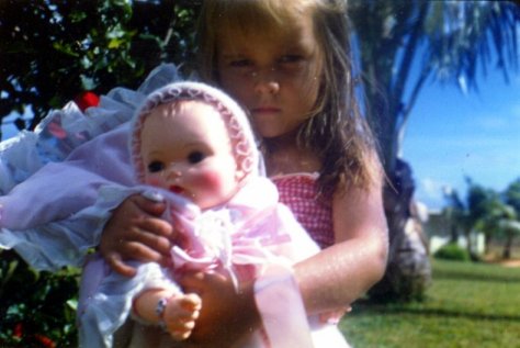
Debbie on Christmas morning.
Debbie’s Christmas present.
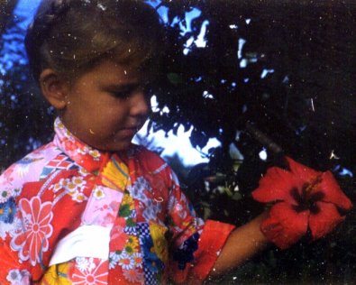
Debbie wearing a kimono, age 3 ˝, at our house, with a hibiscus.
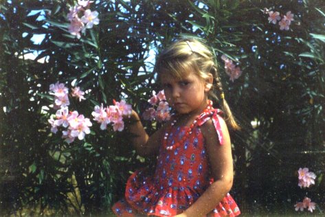
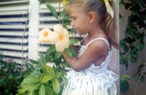
Debbie smelling the allamandas.
 Debbie’s Christmas present.
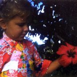 Debbie wearing a kimono, age 3 ˝, at our house, with a hibiscus.
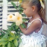 Debbie smelling the allamandas.